Please read and agree to the
terms and conditions
of this site.
I agree
Transportation
/tech
Clear filters and search
Format
photo
Tags
tc
apps
mobile
moovit
transportation
apple
business
california
companies based in san francisco
google
google maps
google services
mapping
maps
news
road transport
sustainable transport
transport
transportation network companies
1937 establishments in germany
2007 introductions
africa
airmap
alphabet inc.
android
android (operating system) software
api
apple maps
artificial intelligence
artificial intelligence applications
asia
australian inventions
automotive
automotive electronics
automotive industry
automotive safety technologies
automotive technologies
automotive technology tradenames
autonomous cars
bangalore
What
mapping
18
×
transport
google
help
maps
service
app
time
today
transportation
city
company
public
transit
use
announced
based
cars
companies
design
digital
new
startup
used
using
ago
allows
apple
audio
autonomous
business
cities
data
deal
driver
drones
features
latest
launched
lines
Language
unset
Current search:
mapping
×
@wired.com
2 years ago
Augmented Reality Has Already Arrived—In Our Ears
@thenextweb.com
3 years ago
How Bangkok’s 40,000-kilometer transport network was mapped for the first time
@idownloadblog.com
4 years ago
Apple Maps updates for Look Around, Nearby and public transit live in Europe, Asia & more
@techcrunch.com
4 years ago
Senegal’s NIMA Codes to launch address app in 15 African countries
@venturebeat.com
5 years ago
Connected city and transport demands are fueling smarter maps
@venturebeat.com
7 years ago
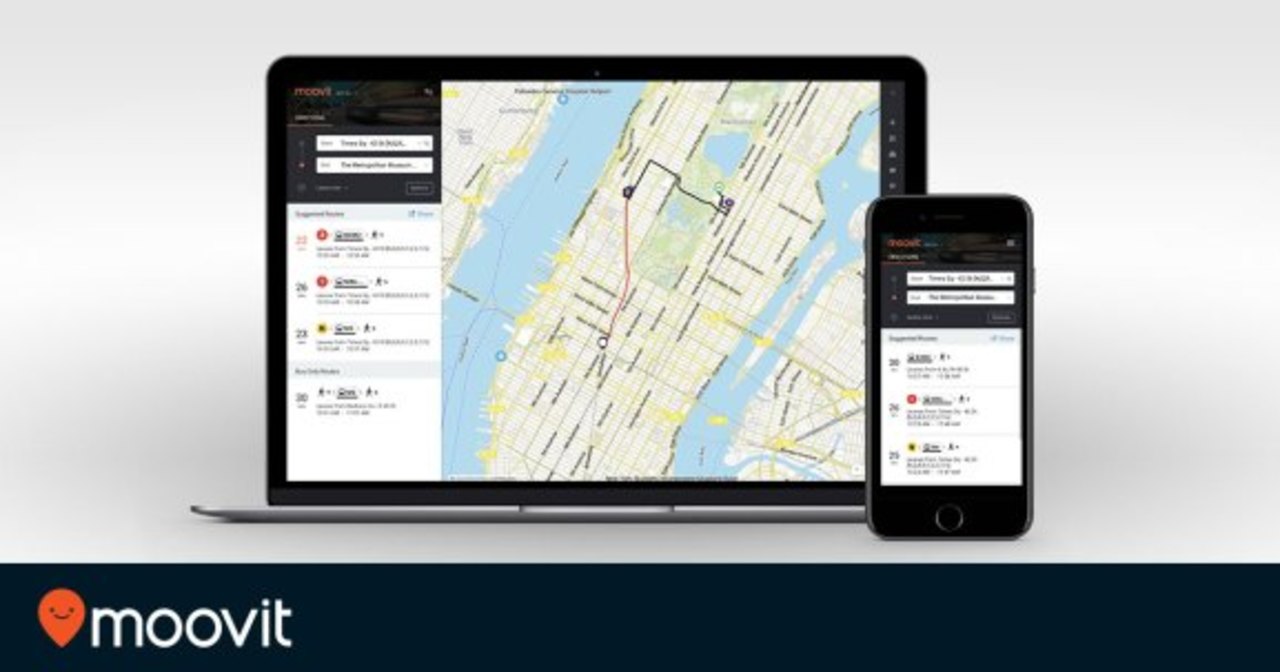
Moovit wants to use its crowdsourced mapping data to transform public transportation
@mashable.com
7 years ago
Drones and UAVs are going to help inspect our subway tunnels
@techcrunch.com
7 years ago
Volkswagen and Mobileye team to help autonomous cars ‘see’ via crowdsourcing
@androidauthority.com
7 years ago
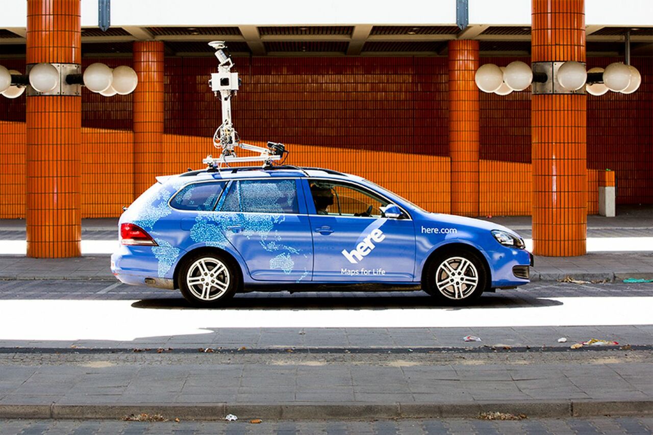
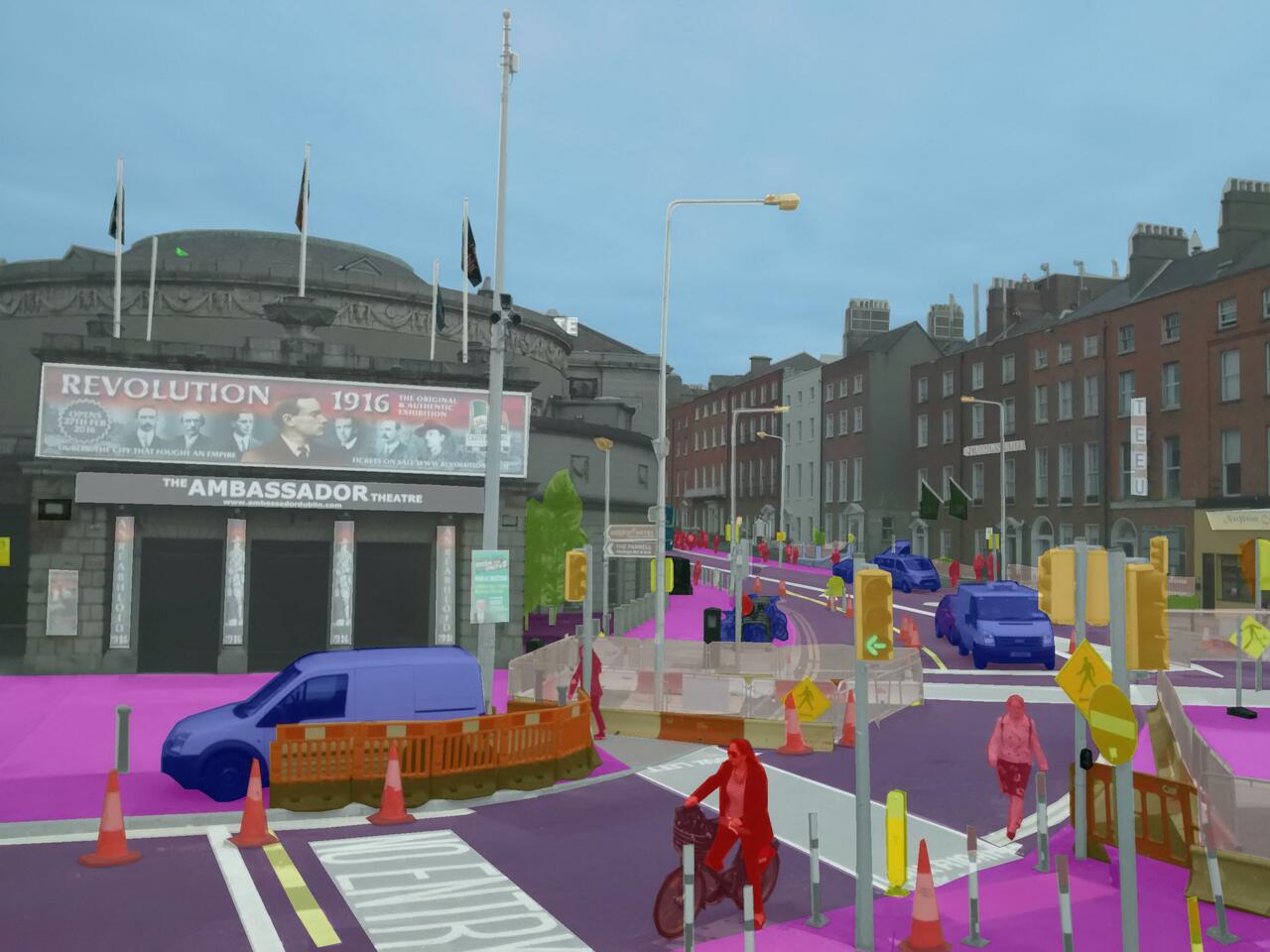
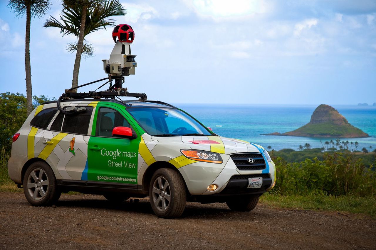
The Google Street View leader hits the road to join Lyft’s mapping team
@theverge.com
7 years ago
Google Maps engineer who pioneered Street View is now working for Lyft
@theverge.com
7 years ago
Digital mapping firm Here wants to transform Iowa highway into a self-driving utopia
@techcrunch.com
8 years ago
Mapbox enters the autonomous vehicle market with Mapbox Drive, an SDK for cars
@theverge.com
8 years ago
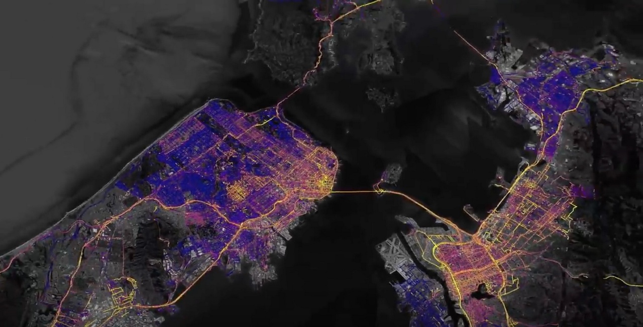
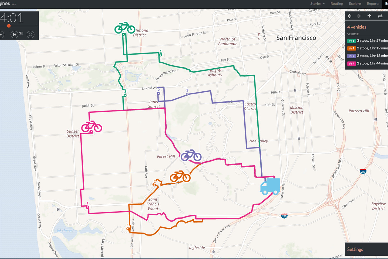
San Francisco’s transit system is now using a thing called the ‘Space/Time Engine’ to track commutes
@techcrunch.com
8 years ago
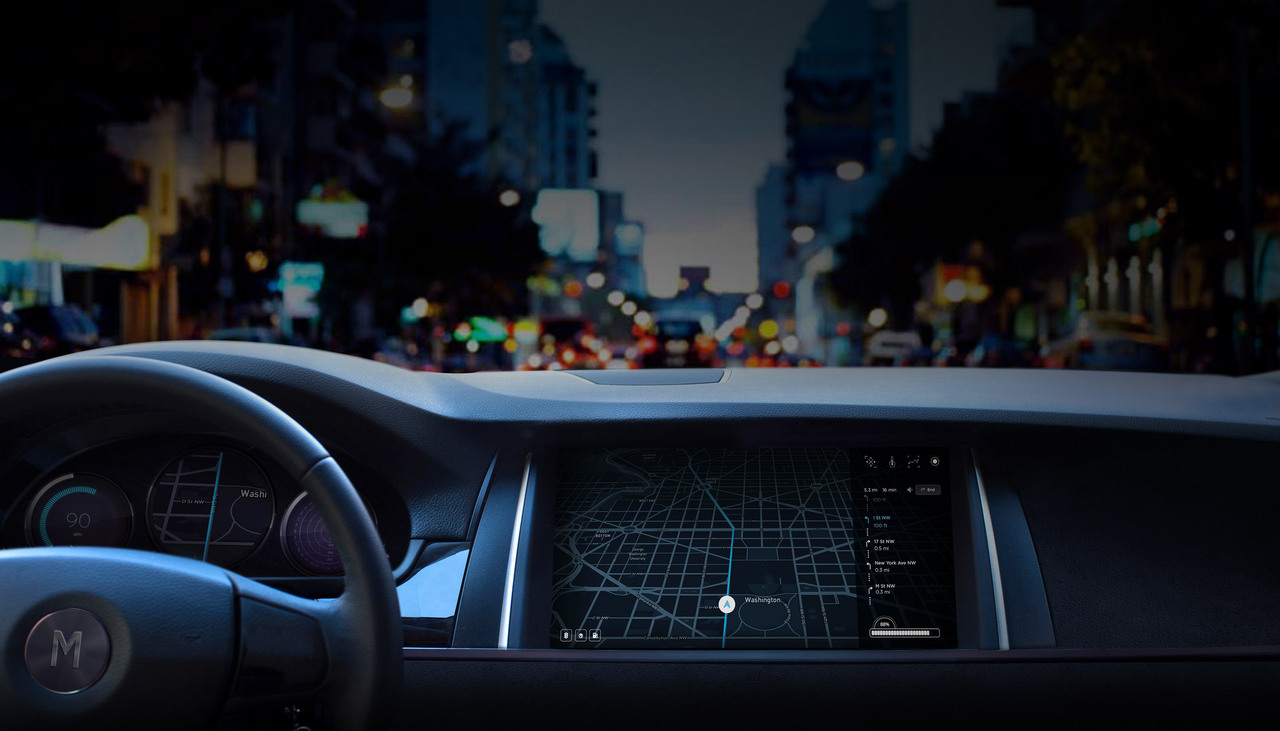
Uber Adds TomTom Navigation Data To Its Driver App, Not Replacing Google Maps
@thenextweb.com
8 years ago
Moovit brings its public transit mapping service to India, starting with Bangalore
@pmarca
9 years ago
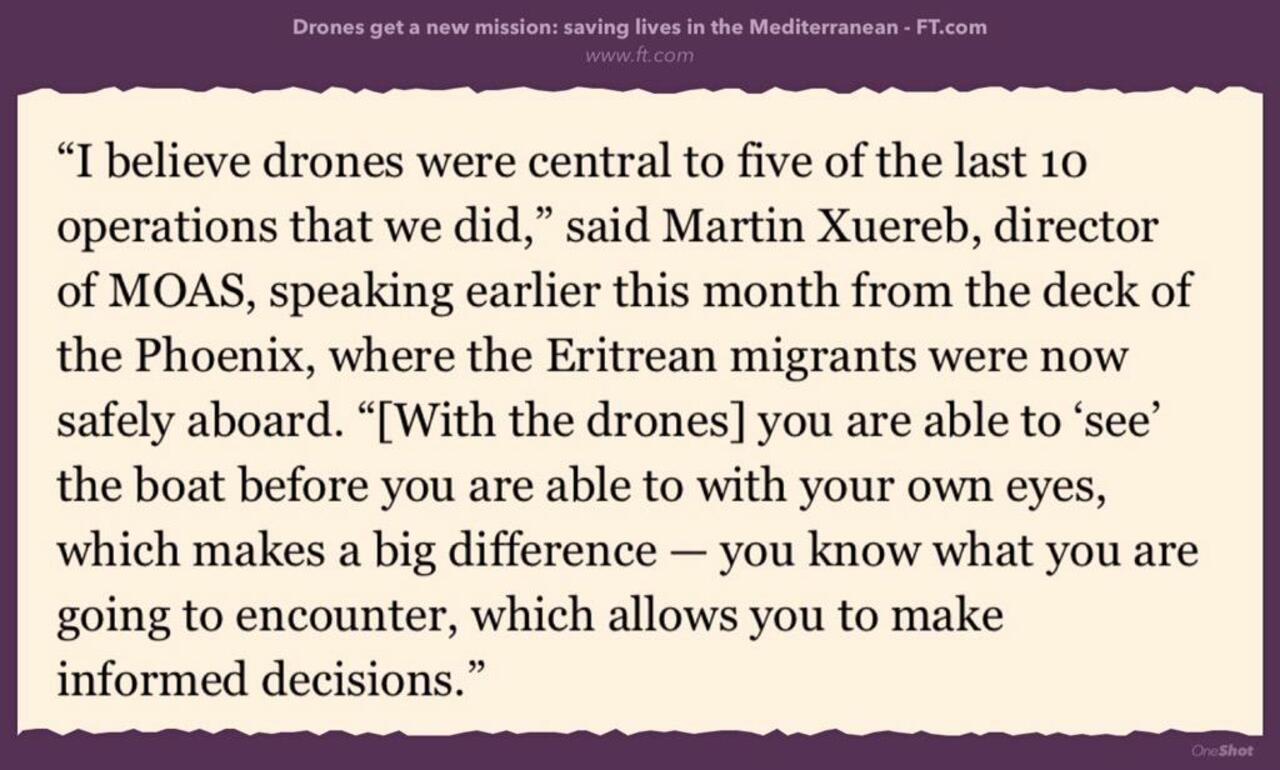
RT @SuB8u: Drones are increasingly used to help in humanitarian disasters -search, transport, mapping... http://www.ft.com/intl/cms/s/0/ca1be56c-158f-11e5-8e6a-00144feabdc0.html#axzz3eCN8VZoO http://t.co/F8m8RmUpDq
@thenextweb.com
9 years ago
Citymapper receives a design overhaul with quicker access to saved trips and nearby transportation
@techcrunch.com
9 years ago
Can iBeacons Be Used To Help The Visually Impaired Navigate Public Transport?