Version 0.5 of #OpenTripPlanner for #RStats is now on CRAN 🥳 with: Much faster routing ️ Reduced CPU and memory use ✅ Support for OTP 2.2 #Rspatial #Transport #DataScience
Heads-up #DataScience people + friends If you want to make transport planning more data-driven and effective: new jobs @activetraveleng incoming, likely next week. Please pass on this opportunity to use #rstats #Python #Data skills to inform policy https://t.co/lA9OQIP9CI
A new year and a new version of #OpenTripPlanner for #RStats is ready for CRAN. v0.5 includes: ✅ Faster routing (~ 3x faster) ✅ Reduced CPU and memory use ✅ Improved support for OTP 2.2 Try it early at: https://docs.ropensci.org/opentripplanner/index.html #rspatial #Transport #DataScience https://t.co/FhElInEFhz
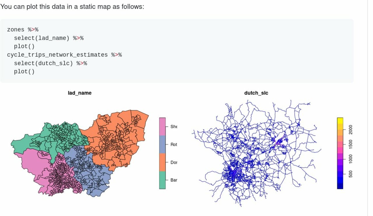
Want to get started with reproducible #DataScience for sustainable transport research/advocacy/policy analysis? This minimal 'how to' guide on downloading and visualising open access data on movements and infrastructure can get you started: https://github.com/robinlovelace/sheffield_cycle_data #RStats https://t.co/trN0ASMF4X
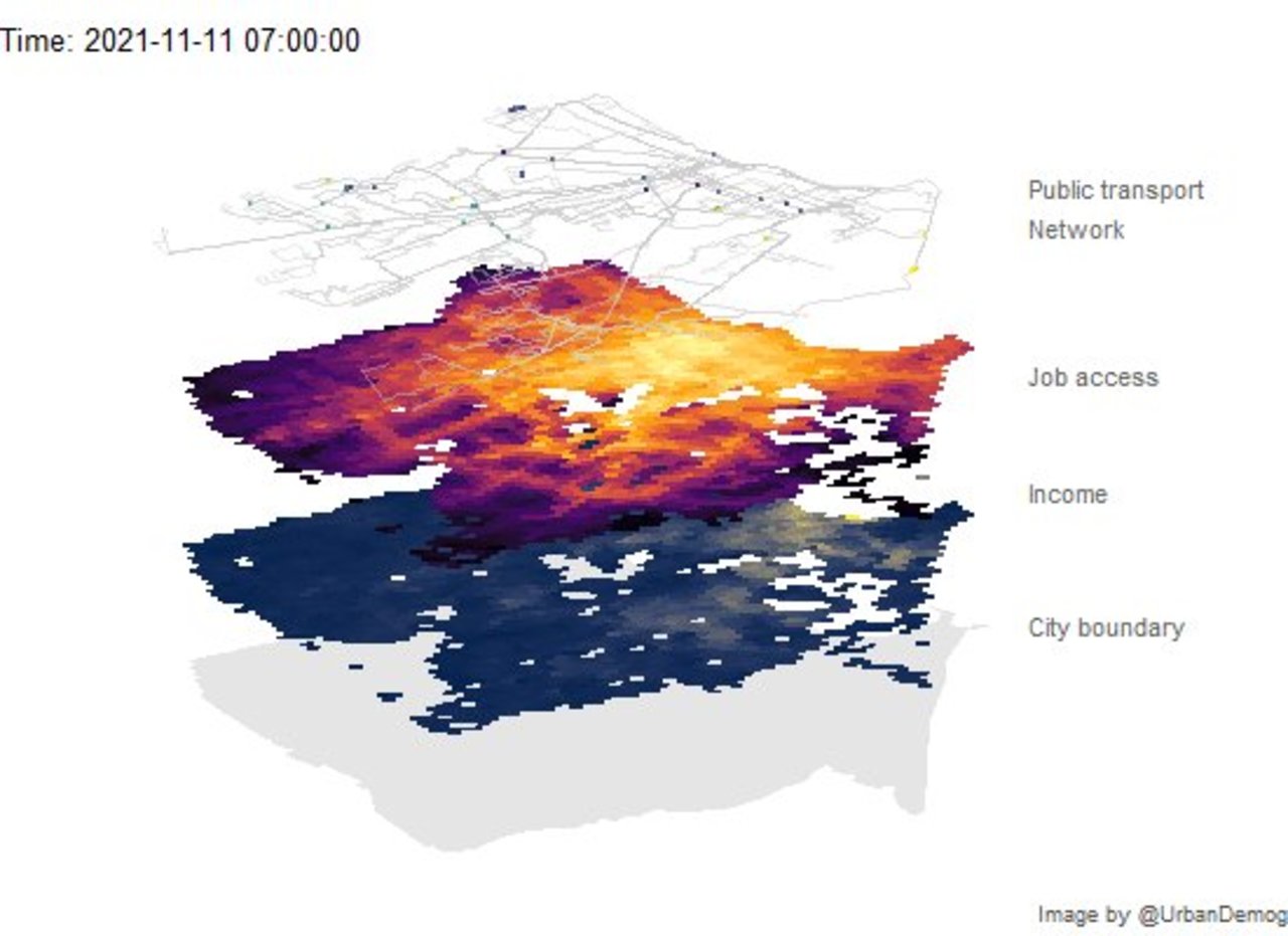
✍️ Animating public transport networks on 3D stacked maps | Urban Demographics Rafael H. M. Pereira @urbandemog https://www.urbandemographics.org/post/animating-transport-networks-3d-maps/ #rstats #datascience https://t.co/x15IdnUrZP
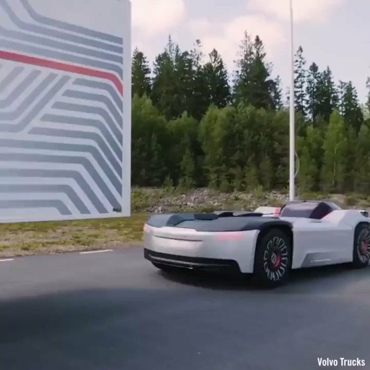
▶️With #AutonomousVehicles transport will never be the same #Analytics #MachineLearning #AI #Python #Rstats #Reactjs #IoT #IIoT #Linux #Serverless #flutter #javascript #TensorFlow #BigData #CloudComputing #Robotics #100DaysOfCode #Tech #ElonMusk https://t.co/mUmgLrlWur
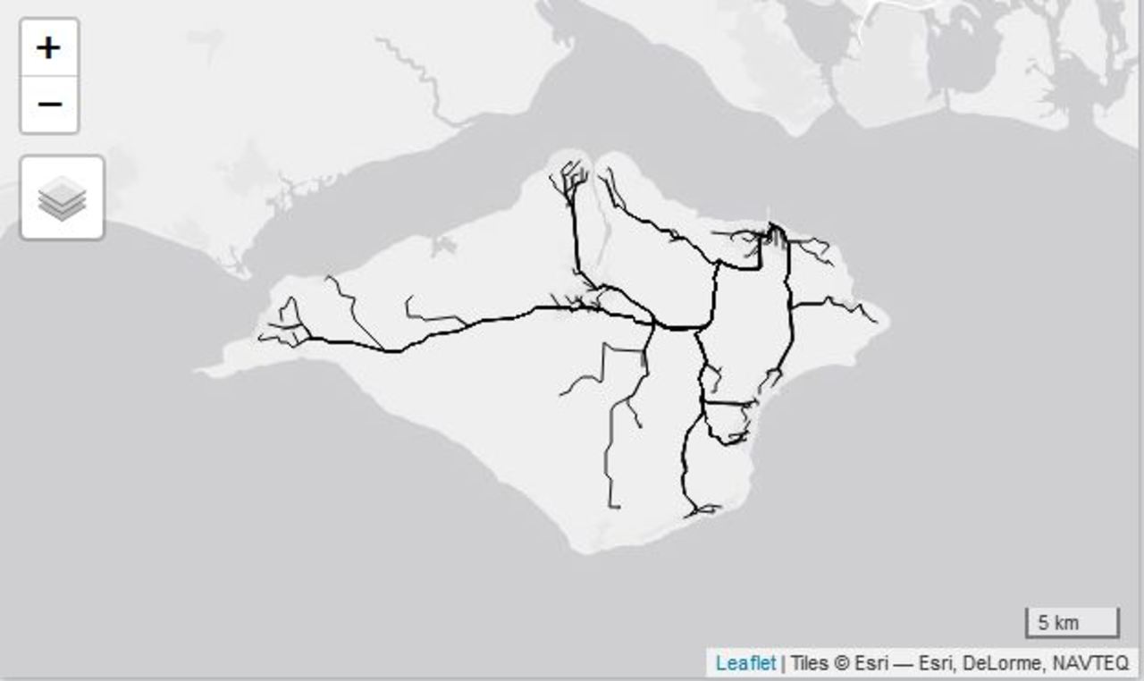
✍️ The 5-minute learn: Create pretty and geographically accurate transport maps in R | Learn to plot the London Tube network accurately. Keith McNulty @dr_keithmcnulty https://towardsdatascience.com/the-5-minute-learn-create-pretty-and-geographically-accurate-transport-maps-in-r-63f2cb77c227 #rstats #datascience
Short tutorial I just wrote on layering graph structures on top of maps to accurately portray transport networks. #rstats #r4ds #DataScience https://towardsdatascience.com/the-5-minute-learn-create-pretty-and-geographically-accurate-transport-maps-in-r-63f2cb77c227?source=social.tw
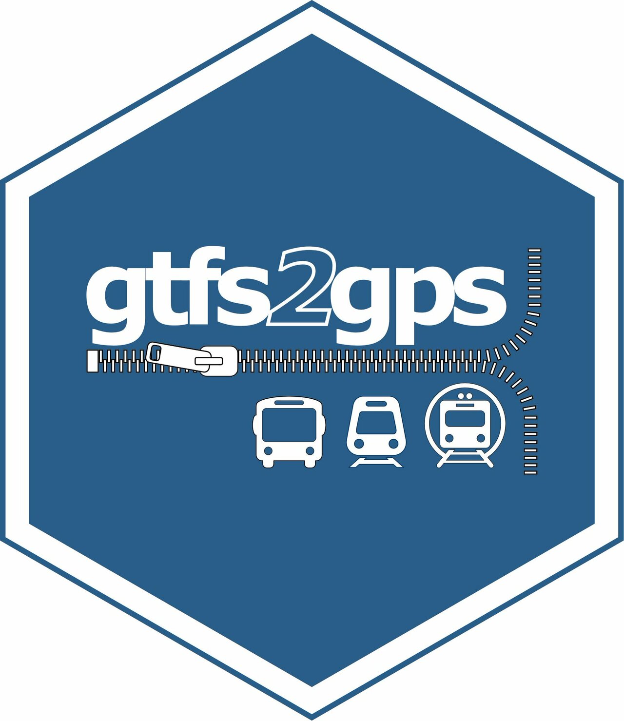
gtfs2gps • Converting public transport data from GTFS format to GPS-like records Rafael H.M. Pereira @urbandemog, Pedro R. Andrade, Joao Bazzo @joaopbazzo https://github.com/ipeaGIT/gtfs2gps #rstats #datascience https://t.co/RL71gMeqco
️️ Open Source Tools for Geographic and Transport Research Robin Lovelace @robinlovelace, ReproducibiliTea @reproducibilit https://www.robinlovelace.net/presentations/reproducibilitea.html #rstats #datascience https://t.co/NJg9WYcfXM
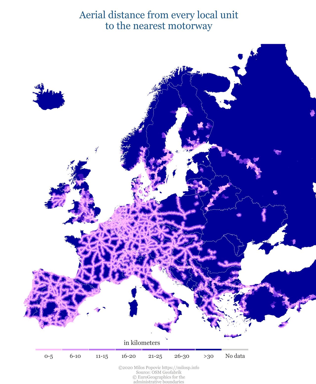
How far is the motorway from the centroid of every local admin. unit in Europe. Check out my latest map! #roads #transport #dataviz #datascience #bigdata #maps #rstats https://t.co/wmS7LEXspJ
Hi #rspatial people. I'm updating my lecture slides on #routing in #RStats. Have I missed any key packages? #GIS #Transport #DataScience @robinlovelace https://t.co/gGDPWpABIc
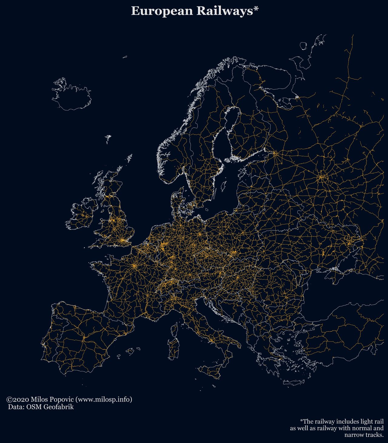
Download your high-quality, crisp image of European railways at http://milosp.info/maps/full/eur_rail.png #railway #Railways #transport #infrastructure #europe #DataScience #dataviz #maps #rstats #gis
There is something quite joyful about lifting up your hex sticker covered Mac lid on public transport in London, and having people move seats to want to chat to you and discuss #rstats. #r4ds #DataScience
If you want to organize an R meetup in your city and you are looking for the support to cover the costs of snacks or transport for speakers, you should contact us via kontakt_at_whyr.pl. http://whyr.pl/foundation/2019/WhyR-2020-Premeetings/ #rstats #ml #datascience https://t.co/SEifooNBEI