Please read and agree to the
terms and conditions
of this site.
I agree
Transportation
/tech
Clear filters and search
Format
photo
5
×
Tags
google
1997 introductions
2012 introductions
american websites
business
cloud
color space
commonwealth republics
coronavirus
countries of the indian ocean
crisis info hub
enterprise
federal constitutional republics
former british colonies
g15 nations
g20 nations
google cloud iot core
google cloud platform
google maps
google open source
google refugee relief
google search
google services
google.org
hindustani-speaking countries and territories
htc volantis
india
intelligent software assistants
internet of things
internet search engines
liberal democracies
member states of the commonwealth of nations
member states of the south asian association for regional cooperation
member states of the united nations
mobile software
multilingual websites
natural language processing software
news
south asian countries
states and territories established in 1947
What
google
5
×
information
5
×
public
transportation
called
data
dedicated
help
launched
maps
new
options
search
transit
transport
use
way
addition
appears
authorities
available
battery
book
box
bunch
cab
cities
cloud
collect
color
colors
combine
compact
companies
company
consume
convert
core
coronavirus
countries
Language
unset
Current search:
information
×
google
×
photo
×
@thenextweb.com
3 years ago
Google Maps now tells you when a face mask is required on public transport
@techcrunch.com
6 years ago
Google launches cloud service to manage Internet of Things data
@androidauthority.com
7 years ago
You can now book an Ola or Uber ride directly from Google Search in India
@thenextweb.com
7 years ago
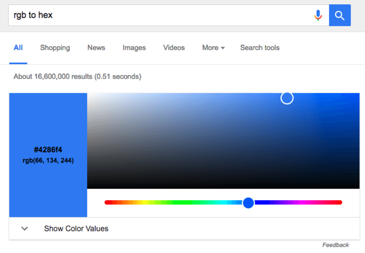
Google now lets you convert between RGB and Hex values
@venturebeat.com
8 years ago
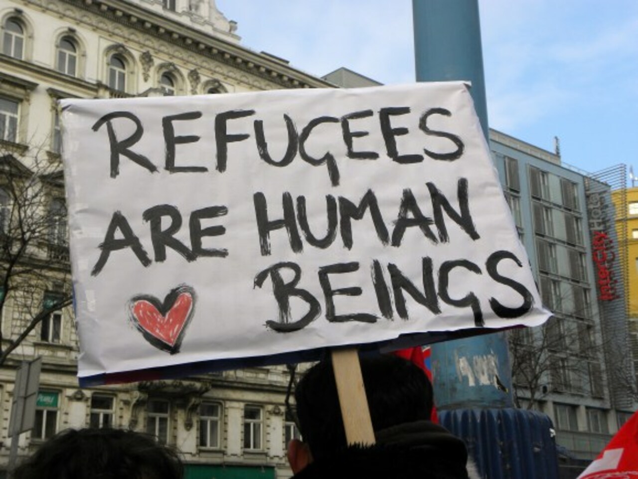
Google’s crisis hub project will find transit, lodging, and medical help for refugees