Please read and agree to the
terms and conditions
of this site.
I agree
Transportation
/tech
Clear filters and search
Format
photo
Tags
apple
apple maps
news
android (operating system) software
apps
apps & games
article feedback 5
blackberry software
coronavirus
europe
featured
google
google maps
google services
internet properties established in 2005
ios software
ipad
iphone
ipod touch
java platform software
keyhole markup language
mac
mapping
mobile route-planning software
pocket pc software
public transport
push
route planning software
sustainable transport
symbian software
tc
transport
transportation planning
web map services
web mapping
websites which use wikipedia
wi-fi
windows mobile standard software
What
look
4
×
maps
4
×
new
4
×
transit
google
public
apple
bunch
features
gets
information
mode
options
transport
added
adding
adds
app
areas
asia
authorities
availability
bus
calculate
cities
city
company
coronavirus
delays
directions
distancing
easier
enforcing
europe
expanded
expansions
finally
government’s
help
itineraries
Language
unset
Current search:
look
×
new
×
maps
×
@idownloadblog.com
4 years ago
Apple Maps updates for Look Around, Nearby and public transit live in Europe, Asia & more
@thenextweb.com
4 years ago
Google Maps now tells you when a face mask is required on public transport
@techcrunch.com
7 years ago
Apple Maps gets transit mode for Paris
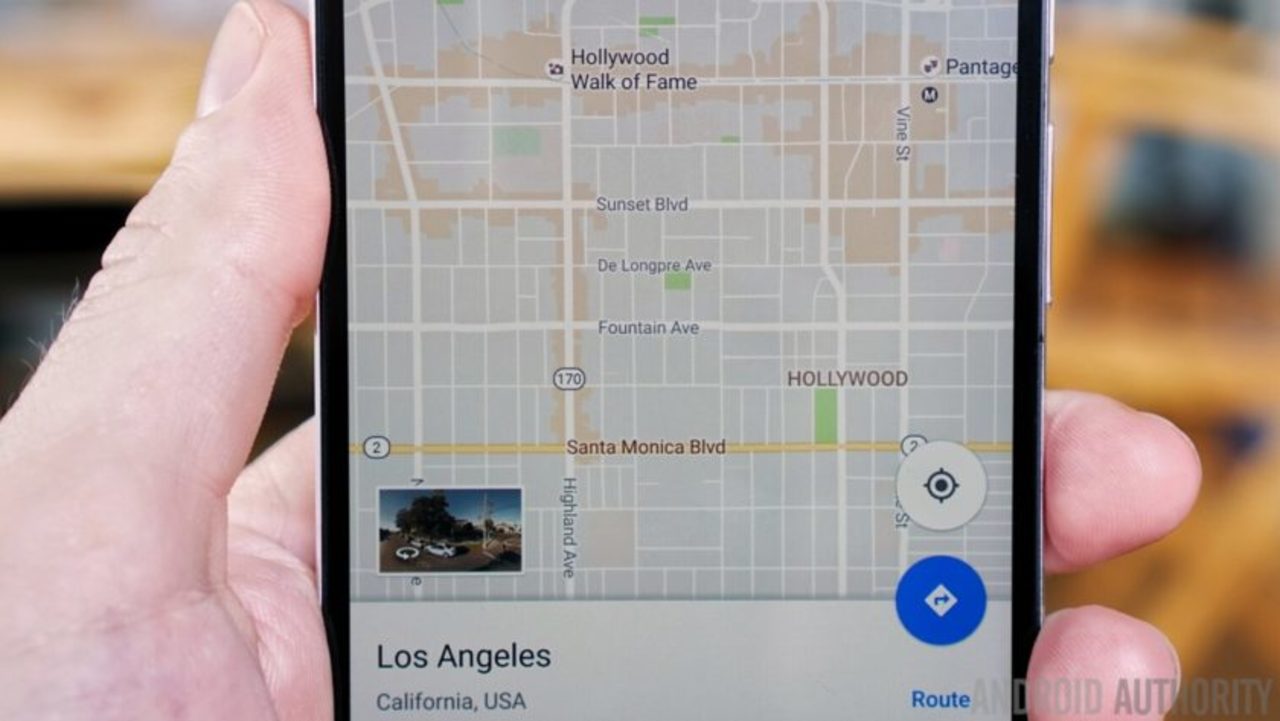
@androidauthority.com
7 years ago
Google Maps gets a new look, adds Wi-Fi only mode, areas of interest and mass transit delays